contacts |
| business | ||
|
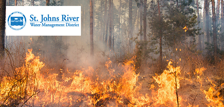
St. Johns River Water Management District use satellite data analytics to drive a unique approach to vegetation management and burn control in Florida Harwell, Oxfordshire, UK, 02 April 2020 – Rezatec, leading provider of satellite data analytics is deploying its unique satellite data technology to help St. Johns River Water Management District map and monitor controlled burn areas across large areas of Florida. St. Johns, winners of the Thiess International River prize, covers about 7.8 million acres of land, ensuring a long-term supply of drinking water, and protects and restores the health of water bodies in the District’s 18 counties in northeast and east-central Florida. St Johns District use the method of controlled burning, alongside other methods, to help control vegetation, which in turn helps with their flood management program. Rezatec was approached by St Johns District to allow more accurate and timely mapping of controlled burn areas through their satellite data analytics, as well as providing data to enable planning decisions on where future burns should be carried out throughout the district. Traditionally, drones and planes were used on targeted areas, to evaluate the extent of the burn, however by switching to Rezatec’s satellite data analytics St Johns District now has access to a frequently updated, holistic picture of the land they manage, which includes unplanned events such as wildfires. Because Rezatec’s analytics remove the need for frequent flights, there is a significant reduction in costs previously incurred from flying the aircraft and drones and due to the frequency of updates that satellites provide, actionable intelligence is available far more often. Rezatec was able to identify 100% of the controlled burns which occurred and predicted over 80% of wildfires. The satellite analytics have also proven to be over 90% accurate in identifying the extent of the burn scar areas, enabling them to have complete confidence in the solution. “Rezatec has provided us with tremendous time savings, potentially even 1, 000 times quicker than our more traditional methods” stated Bill Van Sickle, GIS Analyst at St. Johns River Water Management District. “Everyone at St Johns is impressed with the results and the immediate insight we are able to obtain from Rezatec’s analytics, so much so that we went ahead and signed on for three more years. We don’t use Earth observation analysis everywhere but where we do, it’s from Rezatec, ” he continued. St Johns has now signed a 3-year subscription with Rezatec to continue monitoring the Florida peninsula, and access to Rezatec’s analytics will enable St Johns District to support ongoing data-driven decisions to inform vegetation management and flood management operations. “As one of the world’s leading provider of satellite data analytics, we’re thrilled to be helping St Johns River Water Management and the state of Florida map and monitor both controlled burn, and wildfires.” commented Tim Vallings, Chief Commercial Officer at Rezatec. To find out more about Rezatec’s forestry services here: https://www.rezatec.com/services/forestry-services/. |
| |
| business | ||
© 2007 | ||
